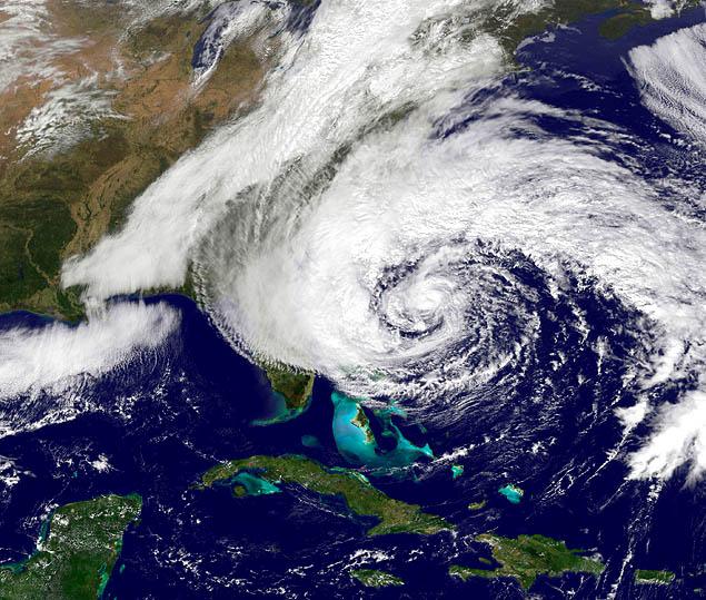
Hurricane Sandy, NOAA handout satellite image taken on October 27, 2012. Note the size and position of the storm.
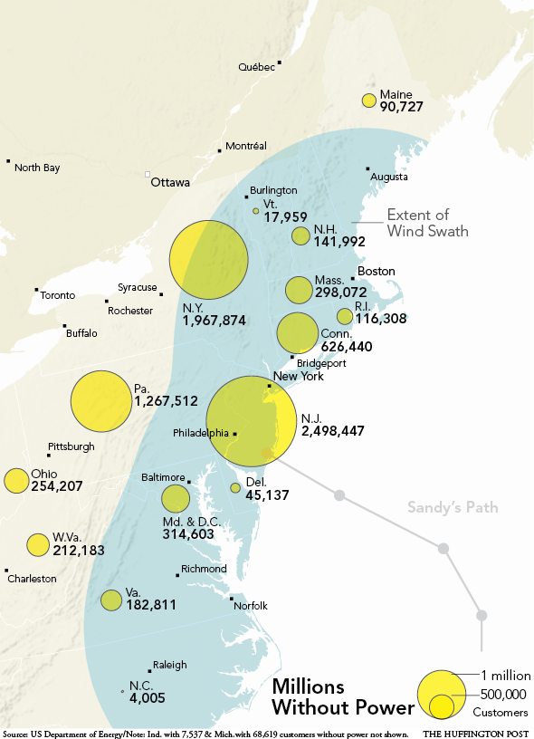
Hurricane Sandy, aka “The Frankenstorm,” a Hurricane with Snow, the 19th named storm of the 2012 season, is projected to hit Delaware, then New Jersey, New York, Connecticut, and Massachusetts, Vermont, New Hampshire, and Maine. Snow is expected in West Virginia. Winds and rain are expected as far west as Ohio. Additional satellite images are available at
NOAA. Note that the Frankenstein monster was created by man.
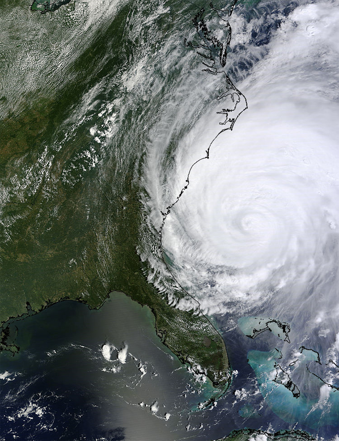
While some are calling this the storm of the century, I see it, like Hurricane Irene of 2011, discussed
here, and Katrina and Rita a few years ago, as a harbinger of things to come.
Several natural phenomena are combining with several man-made factors to interact in ways that will make this a very significant storm, and one that we expect to see repeated every few years.
ABC News,
National Hurricane Center,
NOAA, other news and information media are providing up-to-date coverage.
Popular Logistics provides analysis.
Natural Phenomena:
- Hurricane Sandy is 900 miles wide – bigger than Irene.
- It will interact with a cold front coming from Canada that will form a Nor’ Easter.
- It will also interact with the Jet Stream, that will pull it northward, then refocus it back south-westerly arc toward New York City, Long Island, and New Jersey.
- The full moon – which triggers higher tides – will trigger a storm surge.
Man made factors that will exacerbate the storm’s damage:
- Atmospheric CO2 and water vapor – the concentration of carbon dioxide and water vapor is higher today due to burning fossil fuels. This means the atmosphere can hold more heat, and is holding more water, the oceans are warmer; thus storms will be bigger and more severe.
- Coastal development – sand dunes gone from Long Island make us more vulnerable to storm surges and flooding
- Crumbling infrastructure gives us a diminished ability to weather the storm.
- Lack of emergency preparedness gives us a diminished ability to weather the storm.
- Satellites, in need of repair, give us a diminished ability to monitor the storm.
- Nuclear Power plants in New York, New Jersey, and Connecticut will need to be monitored. Some will be shut down, as they were last year during Hurricane Irene, leading to power outages. See “Nuclear Power, Natural Disasters, and Security.”This gives us diminished ability to weather the storm, and forces us to deploy resources to safeguard infrastructure.
In August of 2011 the Millstone 2 & 3 plants in Connecticut and the Brunswick 1 & 2 plants in North Carolina were operated at reduced capacity during and after Hurricane Irene, while the Oyster Creek plant in New Jersey, and the North Anna 1 & 2 plants in Virginia, were offline. The North Anna plants were shut down before the hurricane due to the earthquake. I expect Hurricane Sandy will effect most of those plants, and also the Calvert Creek plant in Maryland, Hope Creek, and Salem in Jersey, Indian Point in New York, and Vermont Yankee, in Vermont.
Solar power, wind, and wave power won’t work during a hurricane, but don’t need emergency crew on hand to make sure cooling systems are operational. And geothermal will function.
–
As an analyst with Popular Logistics, I am available for research and analysis on a per project or a per diem basis. I can be reached at ‘L Furman 97” @ G Mail . com and US 732 . 580 . 0024.


